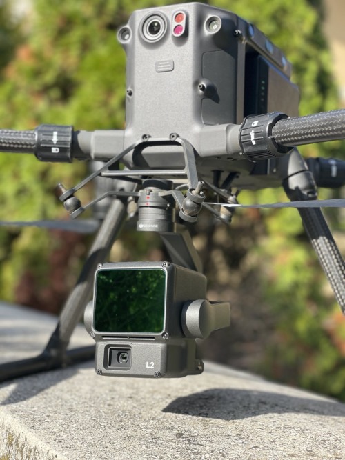
LIDAR survey mapping technology represents a transformative force within the surveying and mapping sector. Leveraging laser-based precision, it enables meticulous measurement of distances from aerial platforms like drones or aircraft, as well as ground-based vehicles, ATVs, boats, and backpacks. This capability facilitates the high-precision mapping of challenging terrains and densely vegetated regions with unparalleled accuracy.

|Our Services|
| Manned Aircraft LIDAR Acquisition | Unmanned Aircraft LIDAR Acquisition | Mobile LIDAR Scanning | SLAM Surveys | Bathymetry Surveys | Backpack LIDAR |
|---|---|---|---|---|---|
| Who We Serve | |||||
| Architects | Engineers | Land Surveyors | Conservation Districts | Water Authorities | Public Works Departments |
Our LiDAR survey mapping services empower customers to access surveys and in-depth topographical analysis with unmatched precision. This technological advancement equips surveying firms with the capacity to offer sophisticated services previously beyond reach. With our expertise and state-of-the-art technology, we deliver detailed area maps promptly and efficiently, transforming the landscape of mapping solutions.
Why Choose a 3dMedia Drone Pilot for Precise Land Surveys ;
Fast and Cost-Effective Drones can cover large areas quickly, drastically reducing the time and cost compared to traditional ground-based or manned aircraft surveys. Exceptional Accuracy Our LiDAR-equipped drones capture data with remarkable precision—ideal for topographic surveys, boundary determinations, ALTA/NSPS land title surveys, and more. Enhanced Safety By leveraging drones, you can collect data in hard-to-reach or hazardous locations without exposing surveyors to unnecessary risk. Versatile Applications From real estate and land development to engineering and environmental assessments, drone LiDAR mapping supports a multitude of industries. Eco-Friendly Approach Drone LiDAR mapping has a minimal footprint, requiring no heavy machinery or extensive site disturbance.
Contact Us for more details.